Dernière modification le
Let’s be honest, one of the funny things about Norway is its weather. Very heavy snowfall in winter, torrential rain, the occasional fierce storm (special mention to Hans, which just swept through and cut the country in two), and as a result, roads that can get closed.
In summer, it’s actually pretty rare. In winter, it’s more common, especially for many scenic routes that remain closed for a good part of the year due to excessive snow — we’ll cover that a bit further down with the full list.
But with these weather conditions, roads are frequently damaged and need repairing. That means roadworks all over the country, all year long.
Fortunately, there’s a website that lists ALL road closures in real time. Even better, you can see exactly which sections are closed and get estimated reopening dates. Pretty neat, right? Using that site, which I’ll introduce further down, I’ve put together summary tables of road closures in real time.
Right, let’s dive in.
CAR RENTAL IN NORWAY
Rent a car in Norway with Discover Cars

- Rent a car from many airports or cities
- Small model, SUV or electric for adventure
- Prices from €25
- With Autopass Toll Tag
Real-time road closures and openings in Norway
I’ve created a table that shows you the current status of Norway’s main roads in real time. The table includes scenic routes, road conditions, and the approximate opening date.
Since there are quite a few roads listed, you can search for each one individually to save time.
At a glance, you can see which roads are open—and off you go!
But be careful: the data comes from Vegvesen, and it may take Vegvesen a little while to update. For example, the night I found myself face-to-face with a fresh avalanche, it took a good hour or two for it to show up—the time it took for the authorities to be notified and update the site.
Live road conditions in northern Norway (Tromsø, Senja, Lofoten Islands)
Here is an informative table showing general road conditions, month by month, on the main roads in the north, between the Lofoten Islands, Tromsø, and Senja.
You can refresh the table by clicking the button; this will display all closed roads in the selected region.
Is the Trollstigen Road open?
Currently: Yes, it’s open!
This is THE road everyone wants to take, and it’s the one you need to check most carefully before heading there.
In fact, Trollstigen is closed:
- from October to May, seasonally. But the opening and closing dates depend on weather conditions. In 2026, it opened in late April, much earlier than usual, because there was no more snow to clear
- due to landslides—this happens regularly. A major rockfall closed the road for over a year
due to summer snowfall. - This is Norway—the weather can be terrible, and there can be snow in the summer—so in that case, the road will be closed until it’s cleared and no longer dangerous.
So be sure to check the tables here to see if the road is closed and when it’s scheduled to reopen.
Live road conditions in the fjord region
Just like with the map of roads in northern Norway, here you can view a detailed list of all closed roads in the fjord region. This makes it an excellent supplement to the scenic route map, especially if you’re visiting outside of summer (since in summer, barring landslides, all roads are open).
Vegvesen, the go-to website for road conditions in Norway
So I was saying, there’s a super important site you need to know about to find out which roads are closed and when they’re reopening.
That site is Vegvesen.no. It also includes a planner. But let’s take a closer look at how the visualization of road conditions in Norway works!
First of all, when you access https://www.vegvesen.no/trafikk/ you then need to go to Apne Kartet (which means “open map”) to access the map of the country.


Then it’s super simple, you just zoom in on the areas you’re interested in. There you will see a lot of symbols:
- roadworks sign: indicates that the road is under construction but accessible
- no-entry sign: indicates that the road is closed. Sometimes there’s a detour sign (in Norwegian, otherwise it’s no fun).
- a little camera: these are webcams, to see road conditions live, super practical
Knowing that a road is closed is great, but the most important thing is to know when it reopens. To do this, for each road, each closure or work, they indicate on the left the date when the work will be completed, the date when the road will open and the time.
This is official data, so it’s reliable. It’s written in Norwegian, so you’ll have to translate it (copy and paste the text into google translate or deepl, for example), or else your browser allows you to translate directly (the 3 little dots at top right, there’s an option to translate).
Basically, with this site, you can really know the status of all the roads, you can have access to route calculation based on closed roads, it’s super convenient. (You can click on the images below to enlarge them and see the information shown, in French)


Norway’s annual scenic road closures
There are temporary roadworks that can occur due to weather problems or renovations, but there are also annual closures for quite a few roads.
Generally speaking, these are roads in the central fjords, some of the most beautiful roads in the country, which are closed for 6 to 8 months a year due to heavy snowfalls.
In the following table, you’ll find details of the roads and their opening/closing times in previous years, to give you an idea. After all, a route remains open until conditions permit.

Norway in short
- NORWAY’S PRETTIEST CITIES
- NORWAY’S MOST BEAUTIFUL LANDSCAPES:
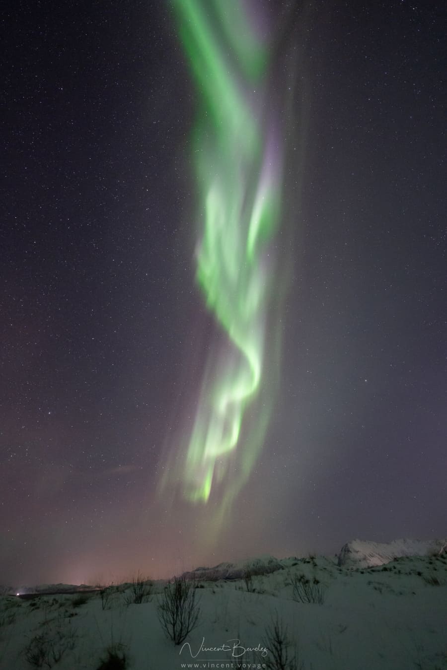
- WHERE TO SEE THE AURORA BOREALIS :
- Tromso
- Senja
- Lofoten Islands
- Alta and Finnmark
- BEST BOAT TOURS :
- Hellesylt – Geiranger
- Geirangerfjord by inflatable boat
- Naeroyfjord to Flam
- Bergen – Flam
- Trollfjord in the Lofoten Islands
- Mostraumen fjord to Bergen
- See whales and orcas in Tromso
- Find your accommodation in Norway with Booking
- Compare car rentals with Discover Cars

📍 Bergen · Rødne Fjord Cruise (3.5 h)
- Departure from the UNESCO Bryggen wharf, downtown
- Get close enough to feel the Mostraumen waterfall
- Sun deck + heated cabin + on-board pastry kiosk
- Watch for white-tailed eagles along the shores
Free cancellation
From €83 / person

📍 Stavanger · Rødne Fjord Cruise (3.5 h)
- 100% electric catamaran, silent sailing
- Preikestolen seen from below, 604 m cliff
- Hengjanefossen waterfall + Vagabond's cave
- Leather seats, panoramic windows, free Wi-Fi
Free cancellation
From €83 / person

📍 Svolvær · Brim Explorer (3 h)
- Ultra-silent hybrid-electric vessel
- White-tailed eagles + chance to spot orcas
- On-board guide + underwater drone if weather allows
- Heated cabin, multi-level panoramic decks
Free cancellation
From €138 / person

📍 Ålesund · VisitGeiranger (8.5 - 9.5 h)
- Hybrid electric catamaran, no bus, no car
- UNESCO Geirangerfjord + Seven Sisters waterfall
- Free time in the village of Geiranger
- Audio guide in English included
Free cancellation
From €190 / person