Last updated on
When you visit Norway, especially in summer, the fjords are almost impossible to skip. You’ll find the most impressive fjords in the world there, extraordinary landscapes, protected wilderness. It’s a huge playground, and it takes weeks to explore properly. Because the Norwegian fjord region stretches, at the very least, from the south-west around Stavanger up to Ålesund a few hundred kilometres further north. Taking in dozens of fjords (hence the name of the region, in fact), mountains, national parks, lovely towns and villages and some really interesting heritage. Anyway, with everything there is to see and do, it’s not easy to find your way around. Hence this map! I’ve marked the essentials so you can plan your trip:
- places to see
- iconic spots
- the places to stay
- the hikes
- the main activities
One thing first: the labels on the map are still in French. The icons and the layers are easy enough to follow all the same.
A look at the Norwegian fjords map
Here’s what you’ll find on this map, concretely:
- A few beaches
- People don’t talk about them much, but there are several beaches on the west coast. We’re not in the Lofoten here, but a few of them are genuinely worth it, in particular Hoddevik, which reminds me an awful lot of Unstad
- The best viewpoints
- It’s obviously impossible to list everything, to include every viewpoint, over a region this big. Still, I’ve gathered a few dozen of them, like viewpoints looking down over the fjords, the spectacular views. You’ll come across plenty of others on your trip too!
- The scenic roads
- These are the Norwegian tourist routes, and they are seriously spectacular! You can spot them easily on the map (the Snovegen, the Sognefjell, Trollstigen…)
- The waterfalls
- And there are a lot of them! The vast majority are very easy to get to, you can spot them easily with the little blue waterfall icon, and clicking on it gives you a preview
- Hikes to do in the fjords
- Obviously, the famous Preikestolen or Trolltunga hikes come to mind. But there are so many others! I’ve put in the details of more than 30 hikes across the whole region, easy ones, hard ones, but they all have spectacular views!
- The main spots in the towns
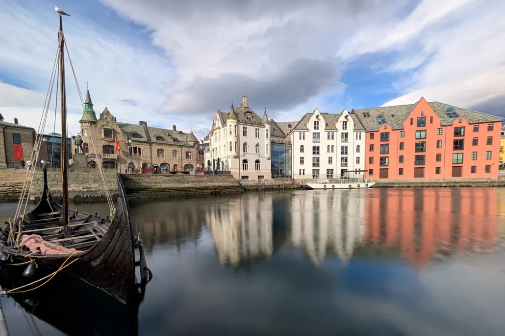
- For the main towns and villages, I point out the neighbourhoods worth seeing (the art nouveau of Ålesund, old Stavanger, the Bergen docks), the guided tours, the points of interest (the Stavanger swords, for example)
- The activities to do, and the operators!
- There are fewer activities than in Tromsø for example, but you can still do some really good ones! You can go dog sledding, kayaking, there are a few interesting and surprising museums, and glaciers you can walk on
- The best places to stay, cheap and good quality
- I’ve put together a selection of the good places to stay. Careful, not necessarily the most expensive and luxurious ones, but the most practical, the best rated, the best located. You’ll find campsites as well as hotels along the fjord, with a price estimate and the Booking rating
- Bistros, restaurants and cafés
- A difficult section because it’s a huge region, but I’ve tried to give you some good restaurants, nice cafés above all with good pastries like the kannelbolle
- Fjord cruises
- Since we’re here to see fjords, I’ve marked the boat trips that let you admire the most beautiful ones: Lysefjord, Geirangerfjord, Aurlandfjord, Sognefjord…


How to use the Google Maps map of the Norwegian Fjords
Right, it’s pretty simple. First of all, you need to know that this map, built with Google Maps, is organised as LAYERS. A layer is a set of points of interest, which I’ve grouped by theme, and each layer is independent of the others. Meaning the best places, the activities, the accommodation… are grouped by category. Why? Because it lets you switch the layers off one by one. So if, for example, the activities layer doesn’t interest you, or you only want to see the places to stay, you can hide the others by unticking the corresponding boxes (see the example just below, it’s dead simple) And of course it works just as well on a mobile phone as on a computer.


The map you ABSOLUTELY need for road conditions
Because the weather in Norway can be a real tease, roads can close at any moment because of storms, avalanches or simply roadworks (they resurface the roads a lot because the climate quickly wrecks the infrastructure), you’ll absolutely need to know which roads are open, what the weather conditions are and whether the roads you’re about to take are closed or not. It’s essential, really. So for that, your companion for road conditions will be the site VEGVESEN.NO. Which you’ll need to check just about every day. I explain it in more detail, in the following article, which roads are closed in the Norwegian fjords

4 recommended places to stay in the Norwegian fjords


The other maps of Norway
I try to build these Google Maps out as much as I can because they’re really handy, especially when you’re planning your trip or already on the road. It lets you see straight away where the key places are, without wasting time. Well, that’s what I think! I’ve already created quite a few, for Norway in particular:
Then I’ve made some for other countries that might interest you too, if you happen to like the idea:


In conclusion
And there you go! I think I’ve put as much information as possible into this map, everything you normally need to be able to discover the best of Norway in the fjords. You’ll also find all the info there for this 2-week itinerary. You’re going to have a huge amount of fun wandering along the roads of the Norwegian fjords, with all the famous scenic roads, the endless, immensely high fjords. There are the famous fjord cruises that you mustn’t miss. Anyway, I hope this map really helps you, points you in the right direction around the region, helps you work out which places interest you most, and that way you’ll get even more out of your holiday 🙂 All of this fits in really well for building your itinerary, but if you need it, in the following article I’ve put together a nice one-week itinerary between Bergen and the fjords! ⭐️ You can find ALL the articles about Norway here
If you’d like to know more about Norway, here’s a small selection of articles to whet your appetite:
- Everything you need to organise your trip to Norway – here you’ll find all the general, essential information
- Paying for tolls and ferries in Norway – find out how to pay the tolls, and which sites to register on
- Norway in summer – which places are best for a summer trip to Norway
- What are the most beautiful places in Norway – a short rundown of my favourite places in this superb country
- Closures of roads in Norway – winter or summer, in every season some roads are closed because of roadworks or bad weather
- The best itinerary for discovering northern Norway – 2 weeks in paradise, between the Lofoten Islands, Senja and Tromsø!
- Discover Tromsø right up in the north of Norway – a destination to discover in any season!
- Here are all the activities you can do in Tromso – summer or winter, there are some wild activities to do in Tromso!
- An itinerary for a week in Tromso – 7 ready-made days to make the most of the region in winter
- Which hotel to stay at in Tromso – here’s a selection that keeps you clear of the accommodation traps
- The most beautiful places in the Lofoten Islands – here’s what you shouldn’t miss in this paradise
- In which town to stay in the Lofoten Islands – Svolvaer, Leknes or Reine, here are the best places to stay
- The best activities to do in the Lofoten Islands – northern lights, horse riding on the beach, dog sledding, you can do it all!
- Discover Senja, the most beautiful place in Norway – superb scenery, hardly anyone around, welcome to paradise!
- Bergen, the most beautiful city in Norway – and also hugely interesting for its architecture, and the gateway to the fjords
- How to get from the airport in Bergen to the city centre – by tram, express bus, taxi, I’ll give you every option!
- How to get to Flam from Bergen – train, boat, bus, here are all the options
- Is Flam touristy – in this article, I explain absolutely everything
- What to do in Oslo over a weekend – plenty of museums, a really nice waterfront, Oslo has no shortage of appeal
- When to go to Norway, month by month – planning your trip for the right time of year